


We have just returned from a large scope to start the year. We were engaged to capture 24 wheat handling facilities, throughout the Midwest, Wheatbelt and Great Southern areas of Western Australia.
3500km travelled, 1 TB of data, 67 flights, 0 incidents.
The data will be used to produce digital twins of the sites.


Its been a busy few weeks with roof inspections, two wheat facilities mapped, one requiring CASA approvals as it was near Perth airport and media footage of the "Pacific Hero" delivering wind turbines to the port of Geraldton.


Some of our clients need to know the amount product they have on site. With our drones and software we can supply accurate measurements in a fraction of time compared to conventional methods.


We have just completed data capture of a grain handling facility to produce a digital twin of the site.

A DSM of 1250 ha, comprising 60,000 images

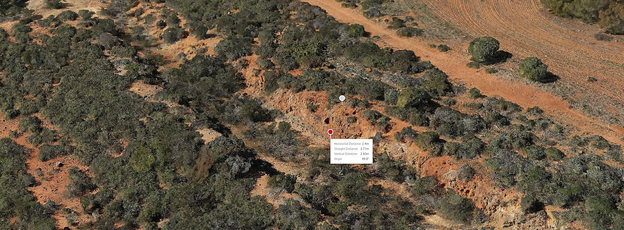
We are building a series of 3D maps, comprising of 13 km of historic railway line between Geraldton and Northampton for the Department of Planning, Lands and Heritage. All up 24,000 images (560 GB) were used to produce the final maps.

Shooting power poles, Southern WA

A celltower inspection, the wide and zoomed images are taken from the same position, the H20 camera allows us to conduct detailed inspections from a safe distance of important infrustrucure


A small Digital Terrain Model "DTM" for a mine site near Mount Magnet.
6 days way out West, 120 drill collars picked up, 60,000 images, 1250 hectares covered for a DTM


Advertising for a property sale in Port Denison

Social media footage.

A digital twin of a heritage building in Greenough, WA
An orthomosaic recently completed.

Environmental monitoring of dredging operations at a commercial port.

Out west recently, capturing 80, 6 hectare sites on this property for Ai Carbon.

A shot from a cell tower inspection, someone had made a nest up there.

Our Chasing M3 ROV doing navigation mark inspections.

Our Chief Remote Pilot did some training with this beast.

The "Pink Lake" Hutt Lagoon, Port Gregory, WA.
